PlexMap
Easy to use and performant WebGIS system from Geoplex.
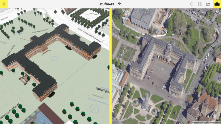
Organize and provide 2D or 3D geo data access within your organization and visualize geo data to the public. Fuse your 3D model with aerial images.
Tools performing on whole states or taylored to the specific needs of your city.
PlexMap and PlexMap Apps
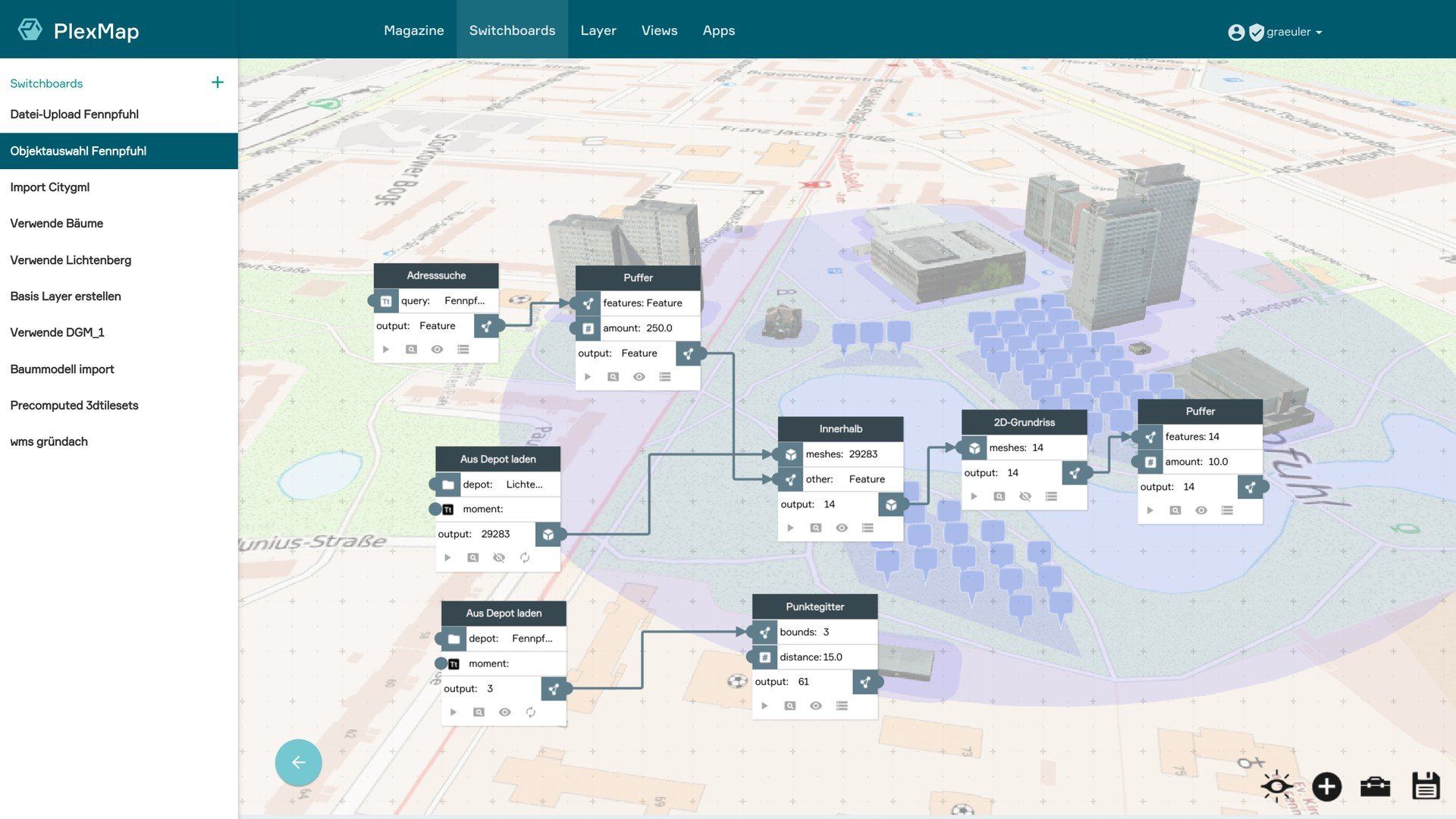
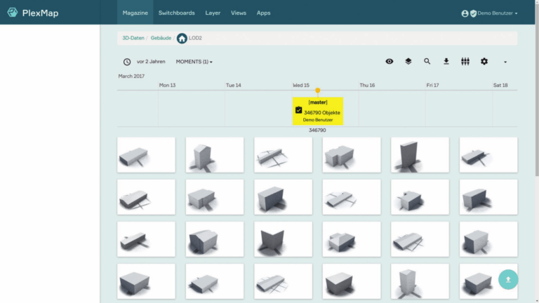
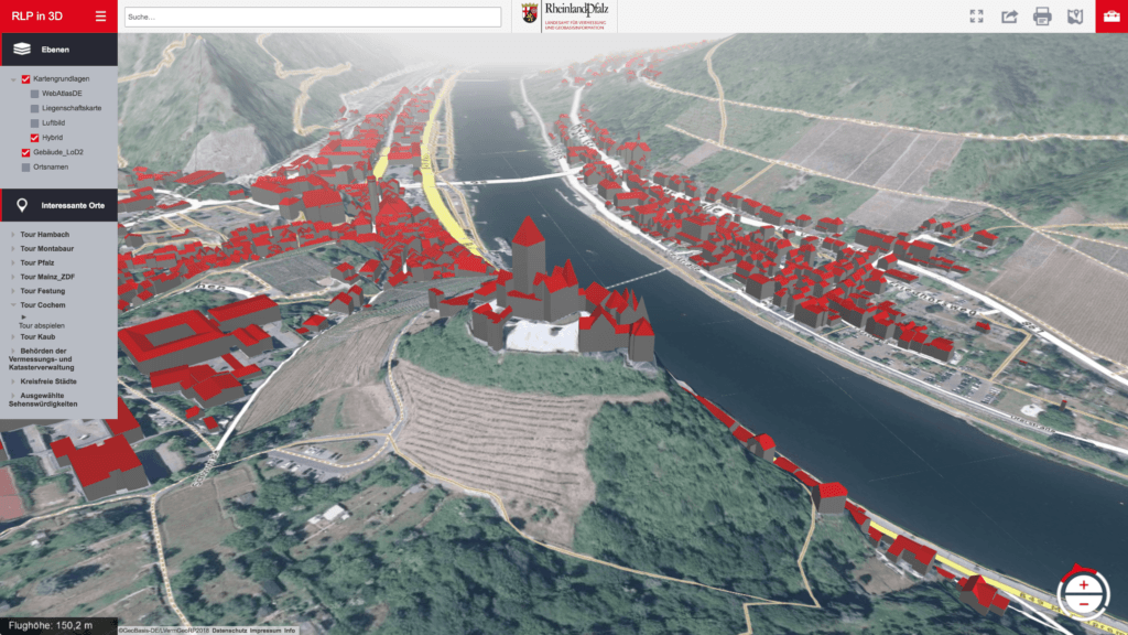
Organize and Visualize your 3D Information
Do you search an easy and performant way to organize, administrate and present your aerial images or 3D model of your city or any other geo data?
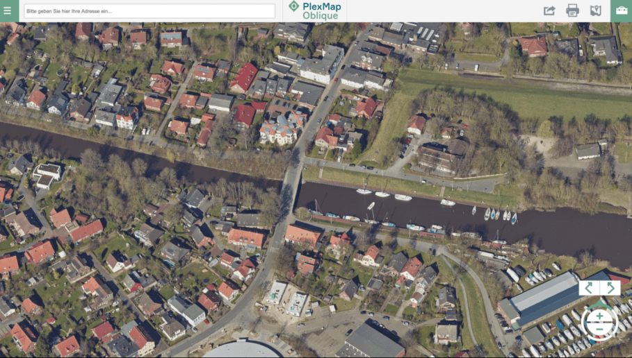
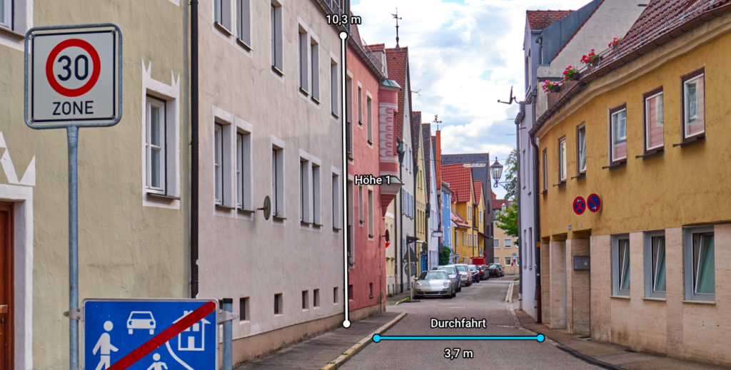
PlexMap Oblique your PlexMap App for Oblique image
- performant and easy to use viewer without extra installations and plug-ins
- full support of smartphones und tablets (responsive design)
- combine it with your 3D-model or other 3D data
- metric functions: easy measurments in x-,y- & z
- export and design your measurments
- use it in intra- or internet
- many, many other functions: search address, print, share, find co-ordinates, ...
PlexMap offers you numerous other Apps ans solutions:

Your benefit from PlexMap solutions:
- Easy and performant access to your 2D and 3D data.
- Powerful and practical tools to administer your geo data safe and efficient.
- Provide geo data access within your organization and visualize geo data to the public. Fuse your 3D model with aerial images. Tools performing on whole states or taylored to the specific needs of your city.
- Easy to use WebGIS system and a team supporting you integrating it into your organization.
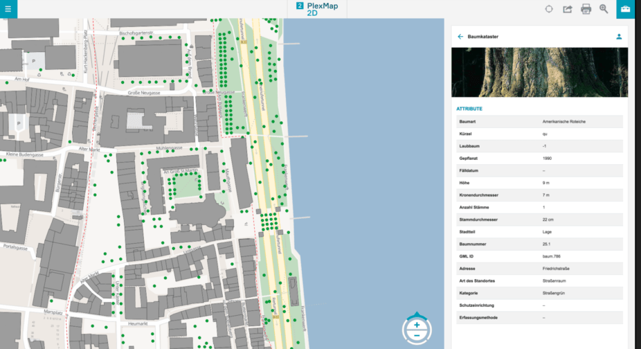
PlexMap Points
PlexMap Points is an extention of PlexMap 3D. You can safe organize, visualize and work on point clouds of various size and areas.
Use your point clouds to extrude your 2D-features, evaluate and improve the geometrical accuracy of your 3D building models or create terrain models.
Try it
Use your point clouds to extrude your 2D-features, evaluate and improve the geometrical accuracy of your 3D building models or create terrain models.
Plese Contact Us: